Training – Level One
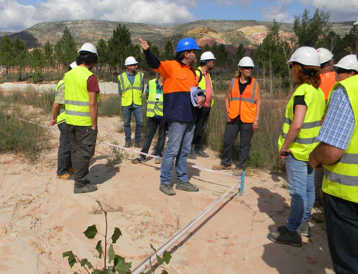
Level One is Introductory Training in the GeoFluv method and use of the Natural Regrade software. The Introductory Training typically takes two or three days depending on the user’s CAD experience and the On-Site option includes 1/2 day in the field to study relevant landform characteristics and how to measure the fluvial geomorphic input parameters.
Level One training is appropriate for those who intend to make GeoFluv designs and for those, like regulatory staff, who want to learn how to evaluate landform designs for erosion resistance and long-term sustainable land use.
The Level One training has a teacher/student classroom format that provides a basic understanding of the fluvial geomorphic principles that are related to the landform’s hydrologic functions. The training shows how these essential fluvial geomorphic principles are integrated into the reclamation landform design by the Natural Regrade CAD software.
GeoFluv has a Certification program that includes testing and recording hours and levels of training; many students have used this to satisfy continuing education requirements. It is also useful to establish design credentials with potential clients and conversely, for project owners to check credentials of project proponents.
Level One training explains how to identify and measure the reference area landform characteristics that are used as inputs to the GeoFluv design method. When the training is On-Site, the students are taken into the field to learn to identify and measure these input values on the ground. The Web-Based option uses images of these reference areas landforms to explain this material.


